
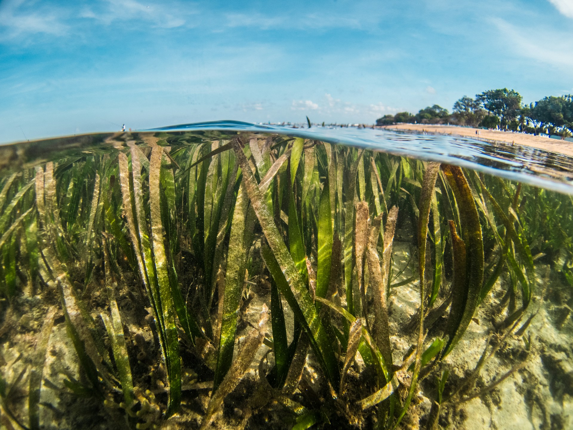
Seagrasses, which under the waves form meadows similar to those that exist on dry land, constitute important ecosystems to support coastal biodiversity. In addition, they provide vital services, such as protection against coastal erosion, food, and carbon sequestration.
However, a team led by Arizona State University, in the United States of America, considers that they are among the coastal vegetated ecosystems about which the least is known. That is what led these scientists to create what they describe as the first high-resolution global map of seagrasses.
In an article published in the journal ‘Nature, the researchers also reveal how seagrass coverage has changed between 2019 and 2024 worldwide, and say that, in terms of conservation, there are reasons for both hope and concern.
According to the data, almost 70% of seagrasses are concentrated along the coasts of only five countries: United States of America, Bahamas, Cuba, Australia and Indonesia. When they compared satellite images from 2019 to 2020 and from 2023 to 2024, the scientists found a loss of about 4% of seagrasses.
Much of this loss was due to human activities, including coastal development in China and fertilizer pollution in Florida. Climate factors were also decisive, such as Hurricane Dorian in the Bahamas and a marine heatwave in Australia, but the authors say more data and longer time periods are needed to establish a clearer causal relationship between these phenomena and seagrass losses.
The team warns that damage to seagrass ecosystems has consequences, such as the loss of suitable habitat for marine life, fewer foods and livelihoods for coastal communities, coastline vulnerability to storms and erosion, and greater release of greenhouse gases.
The team believes that this map will help create “more strategically targeted” marine protected areas. The study shows that worldwide, only 21% of seagrasses are located within marine protected areas, and that about 80% of the losses recorded occurred outside these zones.
On the hopeful side, the research notes the increase in seagrass cover in South Bay, near Los Angeles, in the United States, thanks to restoration actions, and also in Cuba due to improvements in water quality.
“The map will make it possible to see where future restoration efforts will have the greatest impacts,” say the scientists.
Jiwei Li, from Arizona State University and one of the lead authors, considers that the study allows seagrasses to leave being “an under-quantified ecosystem” and to become “a climate and conservation asset globally observable.” With that, he says, it will be possible to make more transparent and data-driven decisions about coastal management and climate mitigation.


