
The environmental association Quercus warned today that more than two-thirds of the burned eucalyptus forest on the mainland are hidden from statistics due to incorrect classifications and calls for “urgent measures of correction and transparency”.
In a statement that provides examples supporting what it says are inaccuracies, Quercus concludes that Portugal continues to present official data “that distort the forest reality”, fueling “an incorrect statistical and political perception of the extent of eucalyptus.”
Such distortions, it adds, have serious consequences for wildfire prevention and suppression, for environmental assessment and for the shaping of public policies.
Quercus recommends urgent rectification of the way analyses are carried out, to ensure the correct identification of forest species, and an update of the data closer to real time.
The association also argues that eucalyptus plantations and other fast-growing species should be subject to mandatory licensing and georeferencing on an official state platform, “allowing transparent and effective monitoring of land use and the evolution of fire risk”.
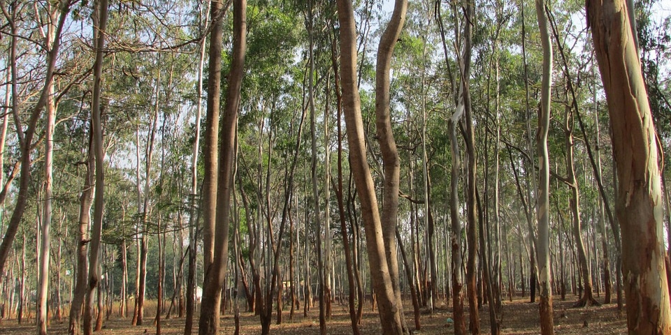
The current land-use classification in Portugal, the association highlights in the release, “is systematically concealing the reality of the eucalyptus”, and without corrective and transparent measures the country will continue to live an official narrative that distorts reality and endangers people and property.
Recalling the latest rural fire data from the Institute for Nature Conservation and Forests (ICNF), which indicate that this year was the 4th largest burned area since 1996 (254,296 hectares), Quercus says that the analysis of the Land Use and Occupation Map (COS) and the Conjunctural Land Occupation Map (COSc), “evidences structural deficiencies that are compromising the reading of the Portuguese forest reality and that compromise official data”.
The maps are produced by the Directorate-General for Territory (DGT) based on satellite images from the European Copernicus – Sentinel-2 program.
The COS is updated every five years and the orthophotomaps (high-precision digital maps) last had an edition in 2018, so “they present a significant mismatch with the real territory”, says Quercus.
In addition, she adds, the COSc, being annual, classifies large areas of young eucalyptus as “mato” during regeneration or rotation after cutting, “thereby masking the true extent of this forest crop”.
In the release Quercus gives two examples of the situation, one related to the Arouca fire in 2024, in which 6,500 hectares burned, 80% of which were eucalyptus. But the “official information” classifies 62% of the area as “fogo de mato” (brush fire).
Already in the Pedrógão fire, the association adds, reports from the “European Forest Fire Information System” (EFFIS) indicate 80% of “mato”, in an area where 90% corresponded to young eucalyptus or natural regenerations.
Quercus says that forest plantings are recorded as “mato” in several stages of the eucalyptus cycle: up to five to eight years old, until they reach five meters, after successive cuts or in a state of regeneration.
Thus, the association estimates that in large-scale fires “tens of thousands” of hectares of plantations are reported to the public only as “mato”, undervaluing the risk and the real impact on the territories and communities.